Eyebrow Text Here
Lorem ipsum dolor sit amet elit
Lorem ipsum dolor sit amet, consectetur adipiscing elit. Suspendisse varius enim in eros elementum tristique.

Geology
The Great Bear Project is located within the Red Lake greenstone belt of the Uchi Subprovince of the Archean Superior Province of the Canadian Shield.
The rocks of the Red Lake greenstone belt originated on an active continental margin, in a setting characterized by volcanic eruption and deposition of volcanic sedimentary sequences, which were followed by subduction-related arc volcanism and later continental collision causing metamorphism.
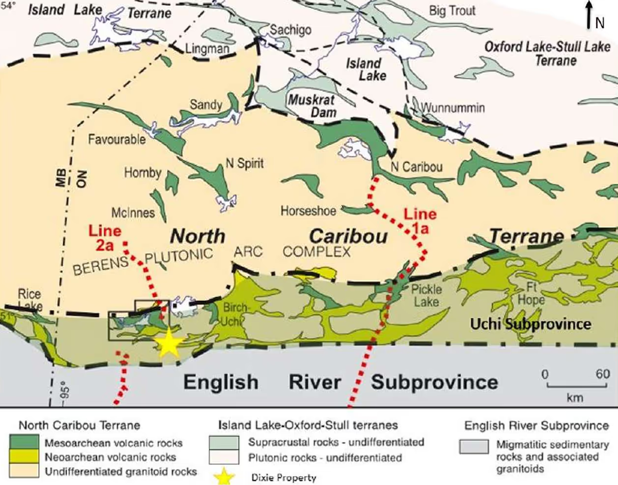
Regional setting of Great Bear Property within the Uchi Subprovince
Regional Geology
At a local scale, the Project area is bounded by intrusive batholiths within a northwest-southeast trending belt of metavolcanic and metasedimentary rocks that are interpreted to have been formed in a marine setting next to active volcanism prior to metamorphism. The southwestern portion of the Property is within a mafic domain and consists of intercalated mafic volcanic flows, argillite, siltstone, iron formation and minor local felsic volcanics. The mafic domain hosts two mineralized zones, the Limb Zone and the Hinge Zone. Gold mineralization in the Limb Zone occurs as silica-sulphide replacement in alteration zones, including replacement of sediments if present, or as silica flooding and quartz-calcite veins. Gold mineralization in the Hinge Zone is present in quartz veins and is associated with weak carbonate quartz alteration.
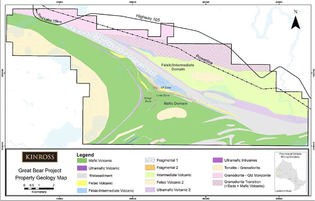
Interpreted geology from drilling, prospecting, and geophysics
At the center of the Property, a younger sequence of intermediate to mafic volcanic and volcaniclastic rocks are present, which have a similar stratigraphy compared to the western and eastern portions of the Property, but have a higher proportion of felsic pyroclastic rocks. These rocks host the most significant mineralization for the project in the LP Zone, and contain disseminated gold hosted by felsic volcanics and volcaniclastic sediments. Alteration of the LP Zone is variable and includes strong to pervasive albitization and silicification of the felsic volcanic units, and sericite and muscovite alteration of the metasedimentary units.
The northeastern portion of the Property is characterized by a felsic domain consisting of porphyritic dacite flows and volcaniclastic rocks intercalated with sedimentary layers.
Sulphide minerals including pyrite, pyrrhotite, arsenopyrite, chalcopyrite, sphalerite and galena have been observed to be associated with the mineralized zones.
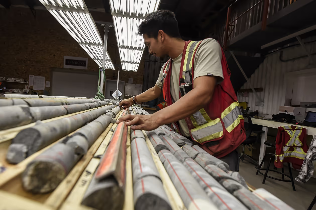
learn more about the Project’s geology
Join our community newsletter for the latest updates on the Great Bear Project.
Please be sure that name fields use alphanumeric characters, commas, dashes, single quotes and periods only
By providing your email address, you are consenting to receive newsletters issued periodically and other information concerning the Great Bear Project. You may withdraw your consent at any time.